-
Dodgers’ Dave Roberts Sends Shohei Ohtani Message Amid ‘Drag Down’ Concerns - 38 mins ago
-
Earthquake swarms are fueling fear of the ‘big one’ in Japan - 43 mins ago
-
The Mexican Businessman Grateful for Trump’s Tariffs - 46 mins ago
-
Owner Feared Cat Wouldn't Accept Rescue Kitten—Photos Say It All - about 1 hour ago
-
After climber survives gruesome injury in Sierras, it takes five helicopters to rescue her - about 1 hour ago
-
Man Dies at Milan Airport After Being Sucked Into Jet Engine, Official Says - 2 hours ago
-
Red Sox $11 Million Closer Among ‘Most Logical’ Players to be Traded - 2 hours ago
-
Extreme heat is a big problem for parents of young kids — and schools - 2 hours ago
-
‘Diddy Parties’ Became a Meme. The Combs Case Was About Something Else. - 2 hours ago
-
Donald Trump Drops Below Joe Biden, Hillary Clinton in Popularity Ranking - 2 hours ago
Rain — and small chance of weak tornadoes — coming to Southern California this week

Rain is returning to Southern California this week. Here is what you need to know.
Forecast
The first storm is expected to move through the area Wednesday into Thursday, with the next cold front coming Thursday.
“There’s a one-two punch where we’ll have periods of light to moderate rain for most of the area on Wednesday and then Thursday will have more moderate rainfall,” said National Weather Service meteorologist Robbie Munroe.
There will also be enough cold air and instability that there is a 10% to 20% chance of thunderstorms Wednesday night into Thursday evening, according to Munroe.
On X, the NWS said forecasters were monitoring the “remote possibility” for “small, weak, brief” tornadoes on Thursday,
Conditions
The San Gabriel Mountains and surrounding mountain towns, including Wrightwood, could see significant snowfall, according to Munroe. Between 6 to 12 inches of snow is possible at elevations 5,500 feet and higher.
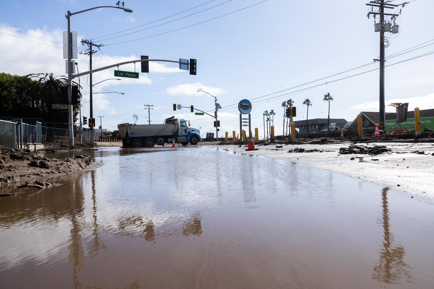
The heavy rain could be a concern for recent burn scars, which could lead to minor flooding and shallow debris flows. The most recent rainstorm forced the indefinite closure of Topanga Canyon Boulevard between Pacific Coast Highway and Grand View Drive.
Long-term forecast
There’s the potential for two to three more storms next week, with the first expected Sunday night into Monday and the second around Thursday, Munroe said.
“In terms of rainfall amounts and snow amounts, it’s a pretty average system,” Munroe said about this week’s upcoming storm. “It’s nothing too out of the ordinary.”
Source link


