-
Former CNN anchor Don Lemon arrested by federal agents in Los Angeles - 5 mins ago
-
The Netherlands Is Getting a New Government. Will It Last? - 14 mins ago
-
The shelter said the pit bull was sweet. He mauled his new owner - 46 mins ago
-
How ICE Operations Are Changing Across US - 54 mins ago
-
Will Kevin Warsh Do What Trump Wants? - 58 mins ago
-
Law firm’s contract hiked to nearly $7.5 million in L.A. homelessness case - about 1 hour ago
-
Free Buses? How About Expanding the Subway by 41 Miles Instead? - 2 hours ago
-
ICE finds targeting violent criminals increasingly fraught in backlash over indiscriminate sweeps - 2 hours ago
-
Trump Says Putin Agreed to a Weeklong Pause in Attacks Amid Extreme Cold - 2 hours ago
-
California waits for a star to emerge in the 2026 race for governor - 3 hours ago
Updated Forecast Shows States Getting Snow on Thanksgiving
A weather forecast issued on Monday shows heavy snow socking the Northern Plains, Upper Midwest and Great Lakes region this week ahead of Thanksgiving, with some storms poised to strike on the holiday.
Why It Matters
The updated forecast comes as nearly 82 million Americans plan to travel more than 50 miles from home this week for Thanksgiving. It highlights the importance of immediate weather forecasts for travelers, as heavy snow can disrupt plans and set off dangerous travel.
Some early Thanksgiving travelers have already encountered weather-related challenges, which targeted parts of the Central and Southeastern U.S. over the weekend, AccuWeather senior meteorologist Alex Sosnowski told Newsweek.

What To Know
The National Weather Service (NWS) shared the forecast in a key message posted to Facebook on Monday afternoon. The forecast revealed which states were expecting the heaviest snowfall from a potent winter storm set to hit the U.S. this week.
“Winter system will enter the Northern Plains by Tuesday morning, moving east across the Upper Midwest through Wednesday leading to periods of heavy snowfall,” the message said. “Heavy lake effect snow will impact the snow belt downwind of Lake Superior on Wednesday as the main storm moves to the northeast. Lake effect snow will continue into Thanksgiving morning.”
Snow is predicted to start in North Dakota on Tuesday morning, then shift to central and northern Minnesota by that night. The heaviest snow will likely fall Tuesday night into Wednesday across Minnesota, northern Wisconsin and Michigan’s Upper Peninsula.
Up to 12 inches could fall in North Dakota and Minnesota, with up to 3 feet expected downwind of Lake Superior.
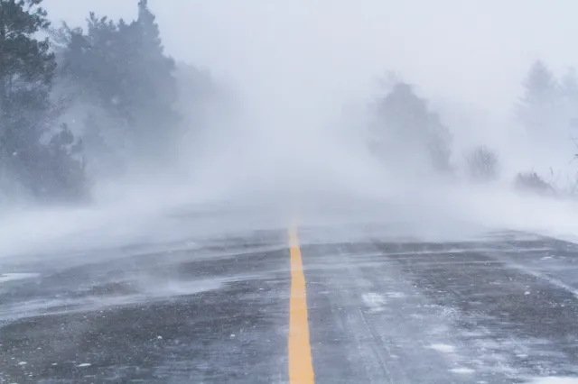
“Heavy snow and gusty winds will help to reduce visibility and allow for icy roads creating hazardous driving conditions,” the forecast said.
Widespread winter storm warnings, winter weather advisories and winter storm watches are already in place.
What People Are Saying
NWS, in a Monday forecast: “By early Tuesday morning, expect moments of moderate to heavy snow bands to move through Northern Montana and parts of North Dakota, along with an increase in gusty winds due [to] pressure gradient tightening. Forecasted snowfall amounts may vary, but expect between 4-8″ across parts of the Northern Rockies, Northern Plains, and Upper Midwest by late Tuesday.”
AccuWeather lead long-range expert Paul Pastelok, in a report: “Snow and slippery road conditions could cause delays at times across the upper Midwest and in areas downwind of the Great Lakes. Wind and blowing snow could cause blizzard-like conditions at times.”
What Happens Next
People living in the Northern Plains, Upper Midwest and Great Lakes region should keep a close eye on the weather and take precautions if they must travel on, before, or after Thanksgiving during the worst of the snow. Forecasts will be updated as conditions develop, and people should follow the advice of their local weather officials.
Source link


