-
Hate crimes in L.A. County ‘continue at record levels,’ report finds - 27 mins ago
-
Where Is Jacob? His Mother Won’t Say, and the Police Cannot Find Him. - 39 mins ago
-
Analyst Makes Bold Cowboys Claim Eagles Fans Won’t Want to Hear - 41 mins ago
-
Metro approves Dodger Stadium gondola project despite protests - about 1 hour ago
-
How to Buy Sports Cards This Holiday Season: Shop Baseball, Basketball, Football, Soccer, & Hockey - about 1 hour ago
-
The One Child Policy’s Legacy: A Surplus of Single Men - about 1 hour ago
-
Federal investigation of Democratic consultants in Sacramento nets guilty plea - 2 hours ago
-
Map shows two atmospheric rivers headed for the US - 2 hours ago
-
Spain Sees Itself as a Beacon for Immigrants. So Do Many Latin Americans. - 2 hours ago
-
Cowboys’ Dak Prescott Sends Bold Warning to Lions Prior to TNF Matchup - 2 hours ago
Map shows two atmospheric rivers headed for the US
National Weather Service (NWS) meteorologists are warning of a “series of atmospheric rivers” that will soak the Pacific Northwest beginning on Friday.
Atmospheric rivers are a “long, narrow region in the atmosphere—like rivers in the sky—that transport most of the water vapor outside of the tropics,” according to the National Oceanic and Atmospheric Administration.
The storms brought by atmospheric rivers are known for their heavy snow, heavy rain and strong winds. They more commonly affect the West Coast, particularly during the winter months. Although the storms can bring beneficial snow that helps supplement reservoirs throughout the summer dry season, they can also trigger deadly flooding, mudslides and widespread power outages.

NWS science and operations officer Kirby Cook told Newsweek that the biggest concerns with the new storms will be the significant rainfall.
“We are expecting some impacts to rivers as well as landslide impacts,” Cook said. “Right now, we have quite a few rivers that are expected to get well above minor flood stage, depending on the location.”
Cook said the second storm will be the most significant, and its impacts will hit on Monday and Tuesday.
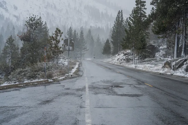
The first storm will saturate Washington and Oregon beginning on Friday. In higher elevations, snow is expected.
On Thursday afternoon, the NWS office in Seattle issued a hydrologic outlook warning of the incoming storms.
“A series of atmospheric rivers will provide rounds of increasingly impactful rainfall starting on Friday and continuing through early next week,” the outlook said. “Snow levels will remain around 5000 to 6000 feet. Expect rising rivers with potential for flooding especially for rivers flowing off the Olympics and Cascades. Urban flooding and landslides are also possible throughout this period as the soil conditions remain wet.”
A gale warning, coastal flood advisory, and a winter weather advisory had also been issued across the area ahead of the storm.
Some of the most widespread impacts from the incoming storms will be heavy rainfall, the NWS said in a Thursday forecast, which will begin “across Washington and Oregon before reaching Idaho, western Montana and Wyoming as snow in the mountains and rain for the lower elevations.”
“By Saturday, the snow is expected to expand into the central Rockies,” the forecast said. “More than a foot of new snow can be expected on Saturday near and around the higher elevations of the northern Rockies.”
Looking further out, more precipitation is expected. According to both the six-to-10-day and eight-to-14-day precipitation outlooks from the NWS Climate Prediction Center, the Pacific Northwest has high chances of above-average precipitation between December 10 and December 18.
Source link


