-
This Moment Is Asking What Kind of America We Are - 3 mins ago
-
What Domestic Terrorism Means, and Doesn’t - 47 mins ago
-
Xi’s Military Purge May Set Back His Taiwan Ambitions - 2 hours ago
-
Trump Condemns Alex Pretti After Latest Video: ‘Crazed and Out of Control’ - 2 hours ago
-
South Korean Stocks, Kospi Index Are Trading at a Record High - 2 hours ago
-
Jimmy Kimmel Teases ‘Melania’ - 3 hours ago
-
Santa Clarita girls hockey team members injured in fatal multi-vehicle crash in Colorado - 3 hours ago
-
The End of Nuclear Arms Control - 4 hours ago
-
Sad News Surfaces on Famed Notre Dame Coach Lou Holtz - 4 hours ago
-
Panama Court Strikes Down Hong Kong Firm’s Canal Contract - 4 hours ago
Back-to-back Atmospheric Rivers Slam US: Live Tracker Maps
The Pacific Northwest will get hammered by significant rainfall and strong winds beginning Friday as the first of two atmospheric rivers arrives, with a second, stronger storm set to hit on Monday.
Atmospheric rivers are a “long, narrow region in the atmosphere—like rivers in the sky—that transport most of the water vapor outside of the tropics,” according to the National Oceanic and Atmospheric Administration.
The storms brought by atmospheric rivers are known for their heavy snow, heavy rain and strong winds. They more commonly affect the West Coast, particularly during the winter months. Although the storms can bring beneficial snow that helps supplement reservoirs throughout the summer dry season, they can also trigger deadly flooding, mudslides and widespread power outages.

The greatest impact from the incoming storms will be the significant rainfall, National Weather Service (NWS) Science and Operations Officer Kirby Cook told Newsweek. Over the next five days, parts of Oregon and Washington are expected to receive as much as 6 inches of rain, according to animated weather footage from windy.com.
The rainfall amounts will be high enough to cause flooding in the area rivers.
Some impacts had already started as of early Friday afternoon, according to windy.com’s weather radar.
Cook said windy conditions are also likely with the storm. On Friday, around noon ET, wind gusts began to pick up in the Pacific Northwest, reaching 30 to 35 mph.
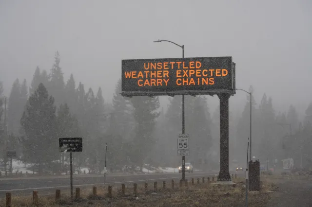
Snow will fall in the higher elevations, with several feet accumulating over the next five days.
NWS warnings and advisories have already been issued across the area. As of Friday at noon ET, the following alerts were in place: winter weather advisory, gale warning, coastal flood advisory, wind advisory, and a small craft advisory, among others.
Hydrologic outlooks also had been issued in Washington and Oregon, with meteorologists warning of the incoming storms.
“A series of frontal systems will keep conditions wet through the weekend and much of next week,” NWS Portland said in one outlook. “The most notable period will be late Monday through late Wednesday, where a prolonged atmospheric river may bring significant rainfall and rising rivers across southwest Washington and northwest Oregon. Rivers draining the Coast Range and Willapa Hills have a 10-25% chance of reaching moderate flood stage and a 8-15% chance of reaching major flood stage.”
Cook warned that landslides also would be possible.
In a post on X, NWS Seattle urged people to begin preparing before the worst of the weather arrived. People can prepare by identifying whether they are in a floodplain, knowing the best path to high ground, and avoiding flooded roads.
Source link


