A powerful spring storm is poised to bury parts of central Oregon under as much as 10 inches of snow, prompting the National Weather Service (NWS) in Pendleton to issue a “winter storm watch” for the East Slopes of the Oregon Cascades from late Tuesday night through Thursday afternoon.
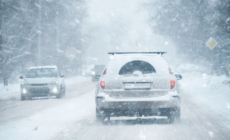
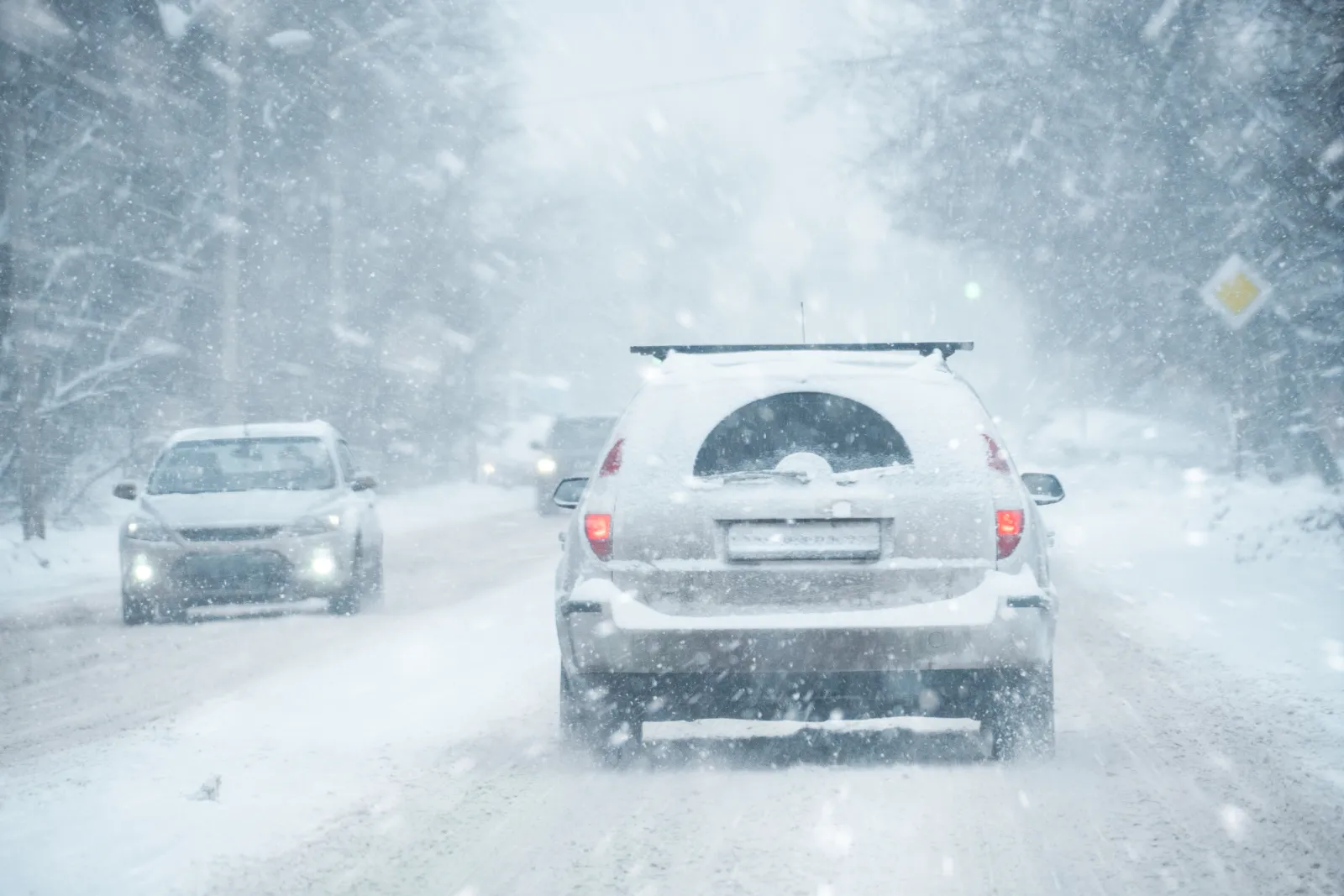
Winter storms in the Cascades can turn routine travel into a life‑threatening situation, as heavy snow, strong winds and rapidly changing conditions frequently lead to slick roads and sudden whiteouts. Even small accumulations can reduce traction and visibility, while stronger systems can strand drivers, down trees, and make it difficult for emergency crews to reach those needing help. Because of these risks, officials urge travelers to plan ahead, delay trips when possible and be fully prepared for deteriorating weather across mountain corridors.
The alert, issued Monday morning, warns residents in Sunriver, Camp Sherman, Sisters and La Pine to prepare for dangerous travel and rapidly deteriorating conditions once the heavy snow strikes.
The heaviest snow will fall between Wednesday night and Thursday morning, NWS meteorologist Marc Russell told Newsweek.
Heavy Snow Warning
Total accumulations could reach up to 10 inches.
“Periods of moderate and heavy snow will combine with low visibilities to create difficult driving conditions. Gusty winds could bring down tree branches,” the winter storm watch said.
Winds could gust as high as 45 miles per hour, contributing to low visibility and making roads treacherous.
The NWS is urging people to delay all travel if possible, emphasizing that road conditions may quickly become hazardous.
“If travel is absolutely necessary, drive with extreme caution,” the alert said.
Motorists are advised to carry a complete winter storm emergency kit, including tire chains, booster cables, a flashlight, shovel, blankets, extra clothing, water and a first-aid kit.
Drivers should also be prepared for sudden changes in visibility, maintain extra distance between vehicles, and avoid sudden braking or acceleration—especially on hills or sharp turns.
Winter Storm Watch vs. Winter Storm Warning
A “winter storm watch” means hazardous winter weather is possible, giving residents time to prepare before conditions worsen. A “winter storm warning,” however, is issued when severe winter weather is imminent or already occurring, signaling that dangerous snow, wind and visibility impacts are underway. While a watch urges vigilance and planning, a warning means immediate action is needed to stay safe and avoid travel unless absolutely necessary.
It’s possible the current watch in Oregon will be upgraded to a warning as it gets closer to the event.
In a polarized era, the center is dismissed as bland. At Newsweek, ours is different: The Courageous Center—it’s not “both sides,” it’s sharp, challenging and alive with ideas. We follow facts, not factions. If that sounds like the kind of journalism you want to see thrive, we need you.
When you become a Newsweek Member, you support a mission to keep the center strong and vibrant. Members enjoy: Ad-free browsing, exclusive content and editor conversations. Help keep the center courageous. Join today.