The Easter weekend storm expected to move into Southern California late Friday could bring a string of hazards to the region, with weather officials warning of possible flash flooding, dangerous thunderstorms, strong winds and heavy mountain snow through at least Sunday.
The most constant and widespread rainfall is forecast to begin late Friday across Los Angeles County and continue through early Saturday — a precursor for a less steady, but possibly strong, string of showers and thunderstorms expected to last through Sunday.
“That band of pretty steady, moderate rain, will be moving down the coast today and tonight,” Ryan Kittell, a National Weather Service meteorologist in Oxnard, said Friday. “The focus of the rain will be after midnight … going through 6 or 8 o’clock in the morning.”
Rain totals for the storm are expected to range between 1 and 3 inches across most of Southern California’s urban areas, with up to 6 inches possible in the mountains and foothills, according to the weather service. And with much of the region still unstable or recovering from a particularly wet winter, Kittell said the additional rainfall could have significant effects.
“Some of those showers could be pretty heavy,” Kittell said. “The ground, while it may not be saturated right now, it’s still pretty wet. … We’d be surprised if we don’t see additional mudslides and landslides.”
Much of southwest California — from the Malibu Coast to downtown Los Angeles, across the San Gabriel Valley and into the Inland Empire and Orange County coast — are under a flood watch from Friday evening through Sunday.
“Flooding caused by excessive rainfall continues to be possible,” the warning said. “Excessive runoff may result in flooding of rivers, creeks, streams, urban areas, and other low-lying and flood-prone locations.”
The cold, core of the low-pressure system driving this storm is expected to move right across Southern California by late Saturday or Sunday, driving a more unstable pattern of thunderstorms and heavy rain bands, Kittell said, which will bring on-and-off rain throughout the weekend.
Depending on the strength of those thunderstorms, officials are warning of possible flash flooding, with rain rates up to three-quarters an inch per hour possible, as well as small hail and even a brief tornado.
“The vast majority of places will not see anything near that, but we wouldn’t be surprised if we see one or two brief tornadoes,” Kittell said.
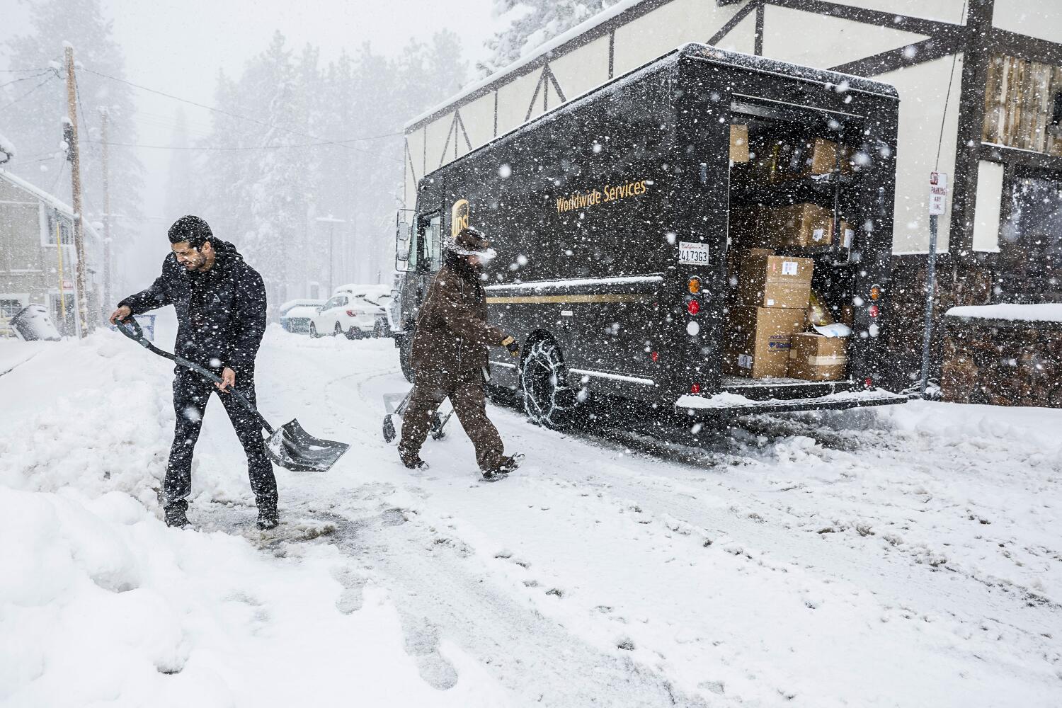
The storm is also expected to bring significant snow across the Southern California mountains and the southern Sierra, with winter storm warnings in effect for most of Saturday and Sunday, building on already impressive snowfall this year.
Mammoth Mountain this week surpassed a season total of 300 inches at its main lodge, with several inches of fresh snow falling Thursday and into Friday — and much more on the way.
“Total snow accumulations of 1 to 2 feet,” the warning for the southern Sierra warned. “Elevations above 8,000 feet could see local accumulations up to 3 feet. Winds gusting as high as 50 mph.”
In Southern California, similar amounts are likely above 6,000 feet, with Big Bear Mountain Resorts calling for a weekend of “substantial snow.”
The Los Angeles County mountains could get up to 30 inches at the highest elevations, and snow is expected to make roadway travel “very difficult to impossible,” including across the Tejon Pass, the weather service warnings said.
“It’s not a great time period to go up to the mountains, there’s going to be a lot of snow,” Kittell said. “Avoid the mountains if you can through Sunday.”
The San Bernardino County mountains are under a winter storm watch with 3 to 4 feet of snow possible at the highest peaks, warnings said.
High winds will only intensify rain and snow concerns, Kittell said, with the possibility for downed trees. A wind advisory has been issued across much of the region, including the Orange and San Diego county coasts.