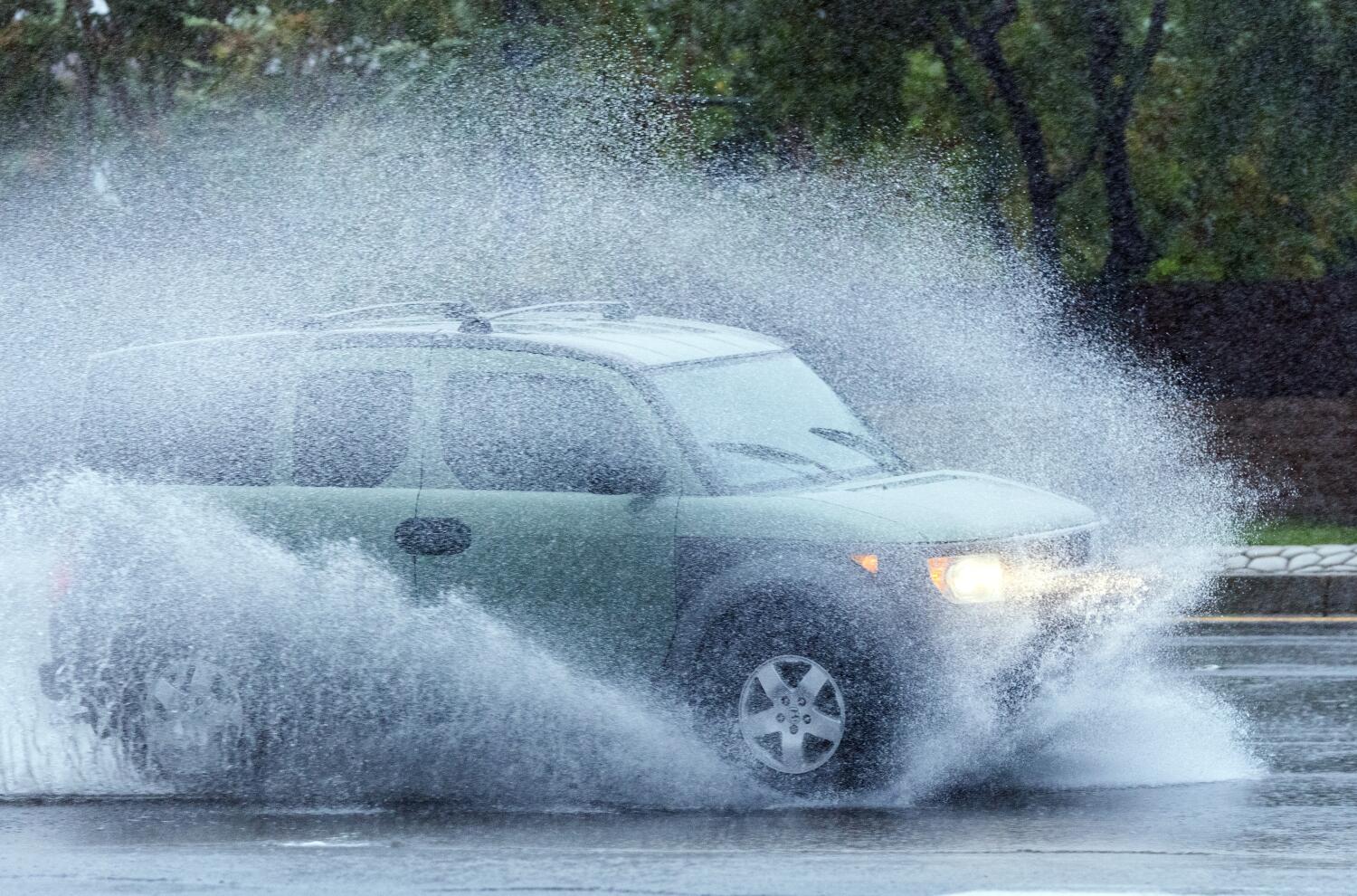
A fast-moving atmospheric river is barreling toward Southern California this week and could bring heavy rain, and with it, a risk of flooding and debris flows in recently burned areas.
The expected rainfall could also help lower the risk of a deadly fire season in the region this year.
The storm is expected to arrive in Northern California on Wednesday and reach Southern California on Thursday, according to the National Weather Service. The system could produce the most rain downtown Los Angeles has seen in at least a month, and possibly since February.
When is the rain coming? How long will it last?
Thursday: The storm system is expected to land in Southern California on Thursday, dumping about 0.1 to 0.2 inches of rain across L.A. County through the day. On Thursday night, the coasts and valleys could get an additional 0.75 to 1.5 inches, with higher amounts of rain — between 1.25 to 1.75 inches — in the mountains and foothills.
Friday: The coasts and valleys could get 0.5 to 1 inch of rain during the day while the mountains could get 0.75 to 2 inches. On Friday night, the coasts and valleys could get 0.33 to 0.5 inches of rain, while the mountains could get 0.75 to 1 inch of rain.
Saturday: During the day, the coasts and valleys are expected to get 0.5 to 1 inch of rain, while the mountains could also get 0.5 to 1.5 inches of rain. Through Saturday night, the coasts and valleys could get 0.1 inches of rain while the mountains could get 0.1 to 0.15 inches.
Sunday: As the storm dissipates, most areas are projected to get 0.1 inch or less.
In total, the system could deposit 2 to 2.35 inches of rain across the coasts and valleys and 3 to 5 inches in the mountains.
What are the risks?
Winds could be an issue, with peak gusts of 50 mph along the Grapevine section of Interstate 5 and in the Antelope Valley. The freeway is a key transportation route for cargo-bearing big rigs. Winds could hit 21 mph in downtown L.A., 23 mph in Long Beach, 25 mph in Santa Clarita, 30 mph in Redondo Beach and 44 mph in Lancaster.
Most areas will experience around six to eight hours of precipitation, weather service officials in Oxnard said. Heavy rain could fall over the course of one to three hours, with rates of up to three-quarters of an inch per hour. There’s also a 20% chance of rain rates as high as 1 inch per hour.
The key threshold for rainfall rates that can trigger significant debris flow is half an inch per hour or greater.
The storm could also snarl traffic in Los Angeles and Ventura counties, where the bulk of rain is expected to hit on Thursday afternoon and evening, bringing ponding of water on roadways. The L.A. metro area could be hard hit during Thursday evening rush hour, with localized freeway flooding in low spots, forecasters warned.
What does it means for fire season?
The coming storm could make a positive impact in California’s fire season “if we get the kind of storm totals we’re anticipating,” according to David Gomberg, NWS fire program manager.
It will take a couple of weeks following the storm to assess how vegetation responds, he said, but the expected precipitation “definitely should start to make a big difference in the fire season.”
Officials generally like to see 3 to 4 inches of widespread rain in the lower elevations to end the fire season. Downtown L.A. already received 1.38 inches of rain on Oct. 14. Prior to that, the last calendar day where downtown got more than an inch of rain was on March 13, when 1.03 inches fell.