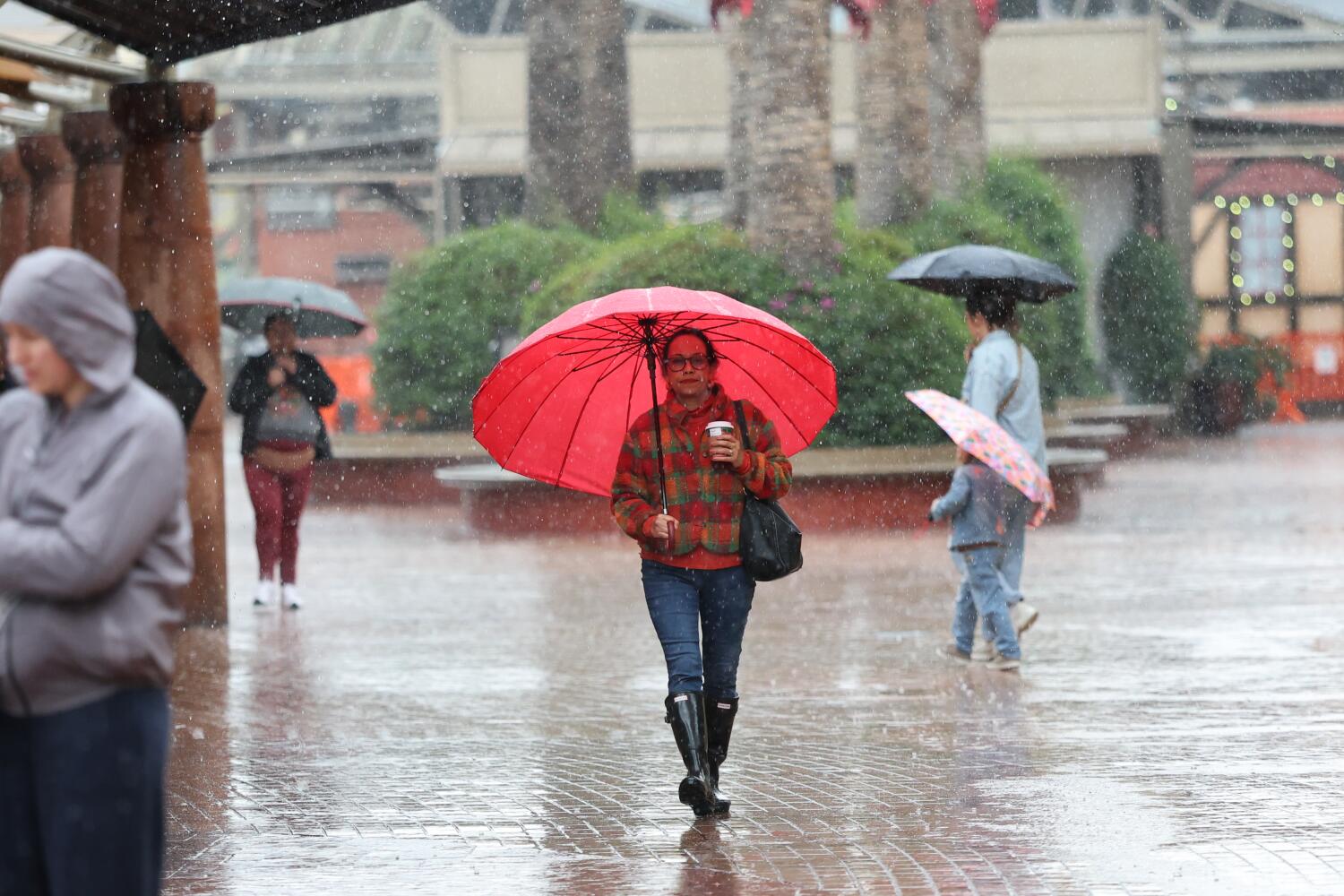
An abrupt change in the forecast means Los Angeles County now faces a chance of thunderstorms, strong winds that could topple trees and heavy rain that could bring flash flooding and mudslides in recently burned areas.
There will likely be thunderstorms this afternoon and evening as the storm pushes through Los Angeles County. There’s growing confidence of higher rains from 3 to 7 p.m. Monday, the National Weather Service says.
The weather service issued a flood advisory — meaning flooding caused by excessive rainfall is expected — for the rest of Monday afternoon. The advisory was in effect for a wide swath of northern and western L.A. County, including Malibu; the San Fernando, San Gabriel and Santa Clarita valleys; all of Ventura County; eastern Santa Barbara County including the city of Santa Barbara; and southeastern San Luis Obispo County.
“Convective storms will bring increased risk of strong to locally damaging winds, lightning, small hail, and isolated waterspouts,” the weather service office in Oxnard said just before 2 p.m. “Briefly heavy downpours could cause localized flash flooding and debris flows in recent burn scars.”
There’s a 40% to 50% chance that rain could fall so fast it could trigger debris flow in the Palisades, Eaton and Bridge burn scars.
A debris flow is a type of landslide in which rain falls rapidly down a hillside and collects mud and other debris along the way. They can be minor, covering roads and driveways with muck, or large and destructive, capable of moving cars at speeds of up to 35 mph and pummeling homes with boulders and a wall of mud.
A brief, weak tornado remains possible somewhere over the L.A. Basin. Other threats for L.A. County through Monday evening include flooding of roads and small streams, as well as rockslides.
Monday’s storm was already causing problems to the northwest of Los Angeles. Large trees fell and roadways were flooded in Santa Barbara and San Luis Obispo counties earlier Monday. Highway 1 had to be closed near Santa Maria due to flooding around the Rancho Maria Golf Course; a minor debris flow had covered most of Highway 46 in mud and debris roughly halfway between Paso Robles and Cambria; and heavy rainfall caused the Conejo Creek to flood farm fields near the 101 Freeway in Camarillo, according reports filed to the weather service.