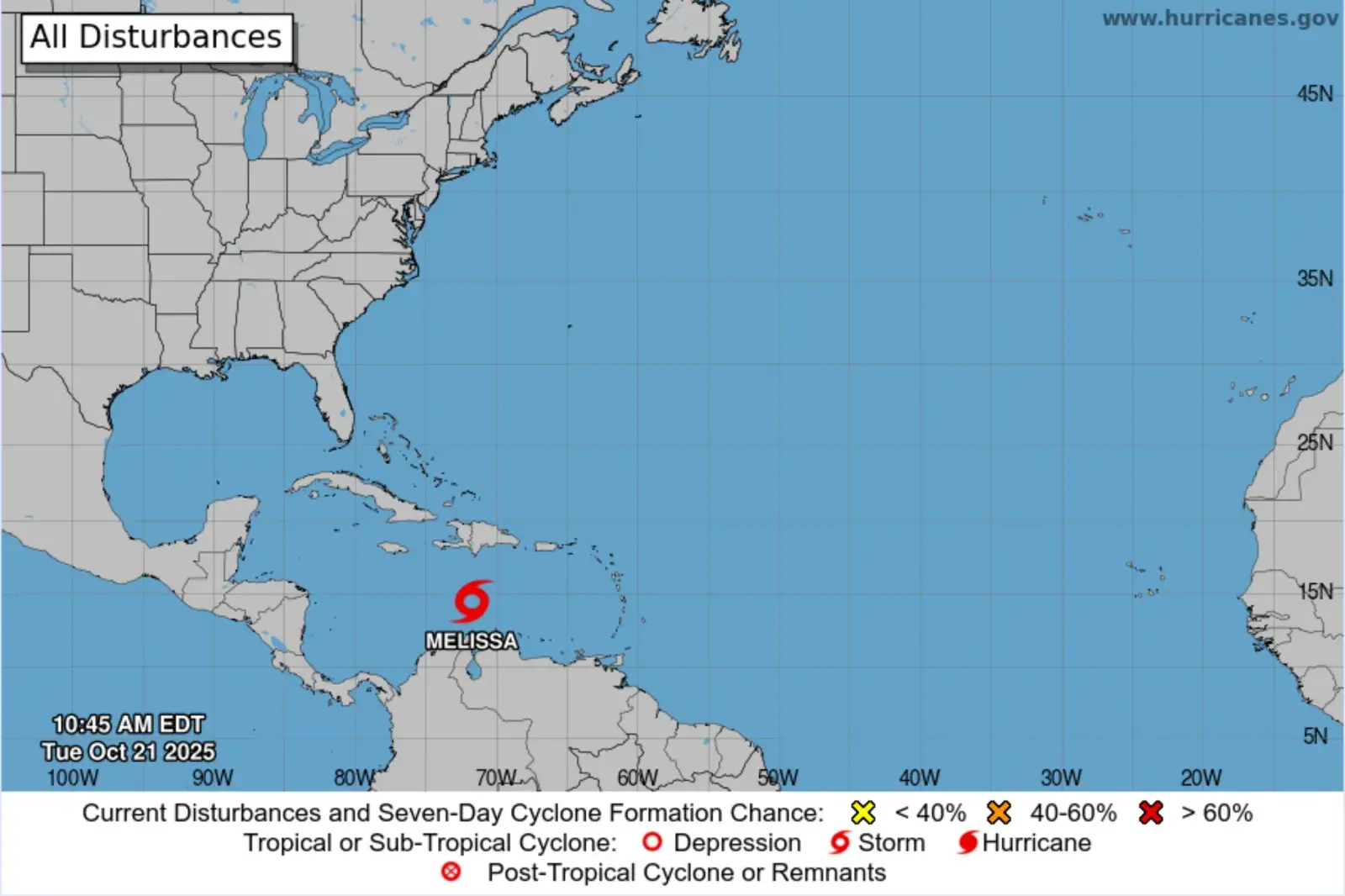
Tropical Storm Melissa has formed over the central Caribbean Sea, the National Hurricane Center (NHC) announced on Tuesday.
Why It Matters
Melissa is the 13th named system of the 2025 Atlantic hurricane system.
The NHC said before the storm’s formation that while there is “significant uncertainty” in the systems eventual track and intensity, interests in Jamaica, Puerto Rico, Hispaniola, and Cuba should monitor its progress “as there is a risk of heavy rain and flooding, strong winds, and rough surf later this week.”
What To Know
Spaghetti models—computer models that illustrate potential storm paths using meteorological data—issued before the tropical storm’s formation suggested that the system could take multiple paths.
“The large spread in the models has to do with the fact that the steering flow is forecast to be light late this week,” AccuWeather lead hurricane expert Alex DaSilva told Newsweek.
“When the steering flow is weak, it is possible for the storm to meander more. There are several weather systems (troughs and areas of high pressure) that will be tying to steer the system late this week and over the weekend. Whichever one is more dominant will determine where the tropical storm goes,” DaSilva said, noting that the models disagree about which feature will be dominant in the steering.
The meteorologist told Newsweek that the storm is expected to drift northwest in the coming days while gaining wind intensity.
“The storm will be guided north by a dip in the jet stream. It does appear that late week the dip in the jet stream leaves and allows the storm to be in a weak steering pattern. This can allow the storm to stall or meander late this week into the weekend. If the storm stalls near the northern Antilles, we could be looking at a catastrophic flooding event in the northern Caribbean,” said DaSilva.
“From there, there are a few different scenarios ranging from a storm that moves across eastern Cuba to a storm that drifts into the western Caribbean.”
In a public advisory on the tropical storm, the NHC said Melissa was located around 300 miles south of Port-au-Prince, Haiti.
The system was moving westward near 14 miles per hour, with a gradual turn to the northwest and north expected in the next few days.
“On the forecast track, Melissa is expected to approach the southwestern portion of Haiti and Jamaica later this week,” the NHC said.
The agency reported wind speeds near 50 mph, and said “gradual strengthening” during the next few days is expected.
What People Are Saying
AccuWeather lead hurricane expert Alex DaSilva told Newsweek: “I think all options are open at the current time.
“There is even a low chance that the storm could impact Florida or the East Coast. While I think this chance is low, it cannot be ruled out.”
The NHC said in its advisory on the storm: “A Hurricane Watch has been issued for the southern peninsula of Haiti from the border with the Dominican Republic to Port-au-Prince. The government of Jamaica has issued a Tropical Storm Watch for the island.”
Meteorologist Noah Bergren said in a post on X, Monday: “For Florida, we watch without worry for now is how I would frame it, but I do not want to rule out major changes or anything definitively more yet. There are a handful of ensemble computer models that are close enough to be of some concern for more notable impact to south FL/the Keys/Bahamas early next week.”
Meteorologist Jeff Berardelli said on X, Monday: “Tough forecast. We have high confidence (but not certainty) it will not hit Florida, but the Bahamas are certainly a concern.”
What Happens Next
The NHC issues frequent updates on both its website and social media channels.